
Demining Boka Kotorska
A bay-wide underwater UXO clearance programme — completing a century-old legacy risk that two flagship developments have already proven can be cleared safely, on budget, and turned into value.
3,170,000 m² identifiedDepths to 60 m€46,000,000 programmeA century of munitions in a living, working bay
Naval mines from the First World War; bombs, torpedoes and depth charges from the Second; ammunition delivered to Tivat and Kumbor and reportedly dumped uncontrolled during the 1991–92 Yugoslav breakup. Sea-dumping of obsolete conventional — and possibly chemical — munitions was standard practice until the 1975 London Convention banned it.
3,170,000 m² of seabed, mapped and waiting
Seven zones across the bay, from the Risan approach to the outer entrance at Rose, at depths down to 60 metres — precisely bounded, not a guess.
Not an open-ended commitment — a bounded, mapped programme
| Zone | Area | Diving depth range |
|---|---|---|
| Zone 1 | 120,000 m² | 0–55 m |
| Zone 2 | 200,000 m² | 0–45 m |
| Zone 3 | 300,000 m² | 0–45 m |
| Zone 4 | 250,000 m² | 30–45 m |
| Zone 5 | 300,000 m² | 0–45 m |
| Zone 6 | 500,000 m² | 0–60 m |
| Zone 7 | 1,500,000 m² | 0–60 m |
| Total | 3,170,000 m² | up to 60 m |
Zone geometry per the RCUD/GEATEH schematic survey map (2022). See the full map for exact locations across Risan, Kotor–Perast, Bijela, Kumbor, Đenovići and the outer bay entrance at Rose.
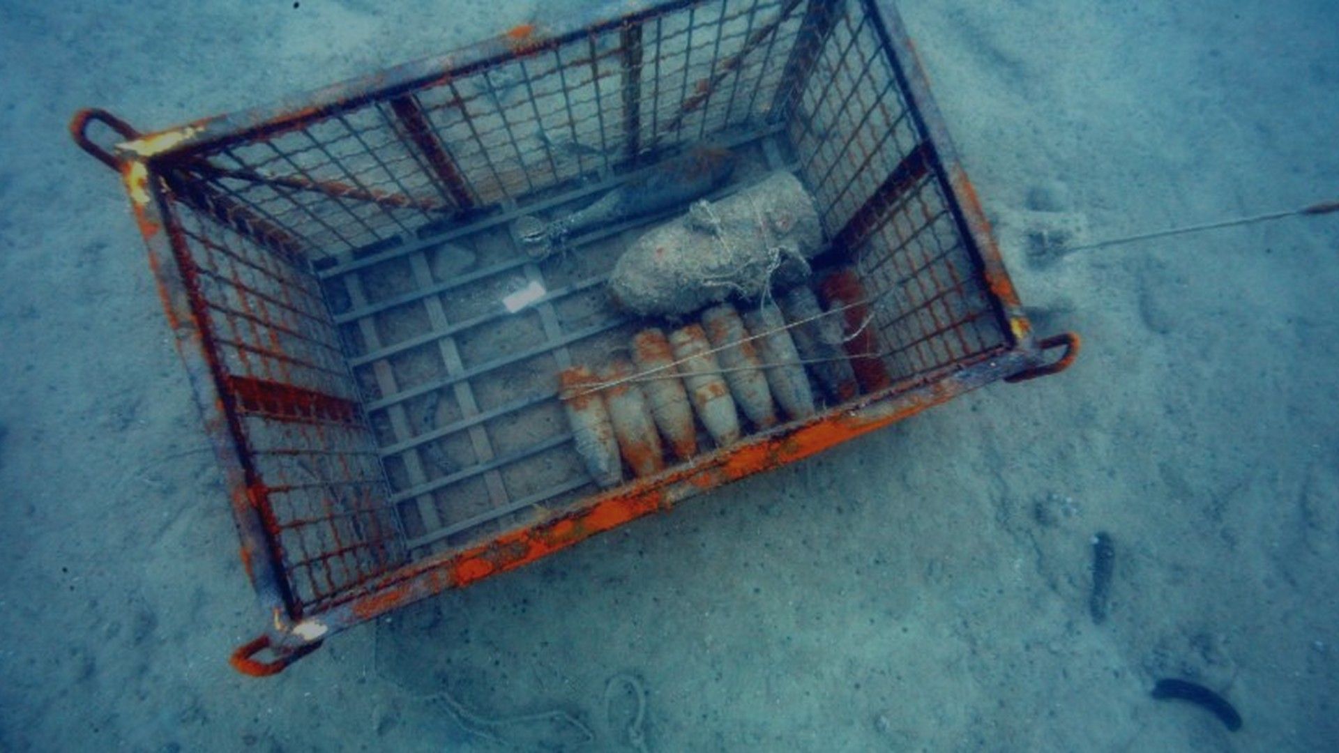
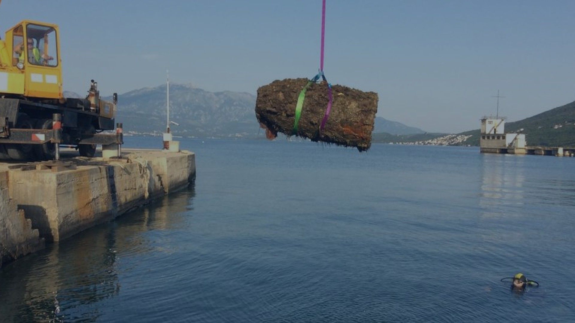
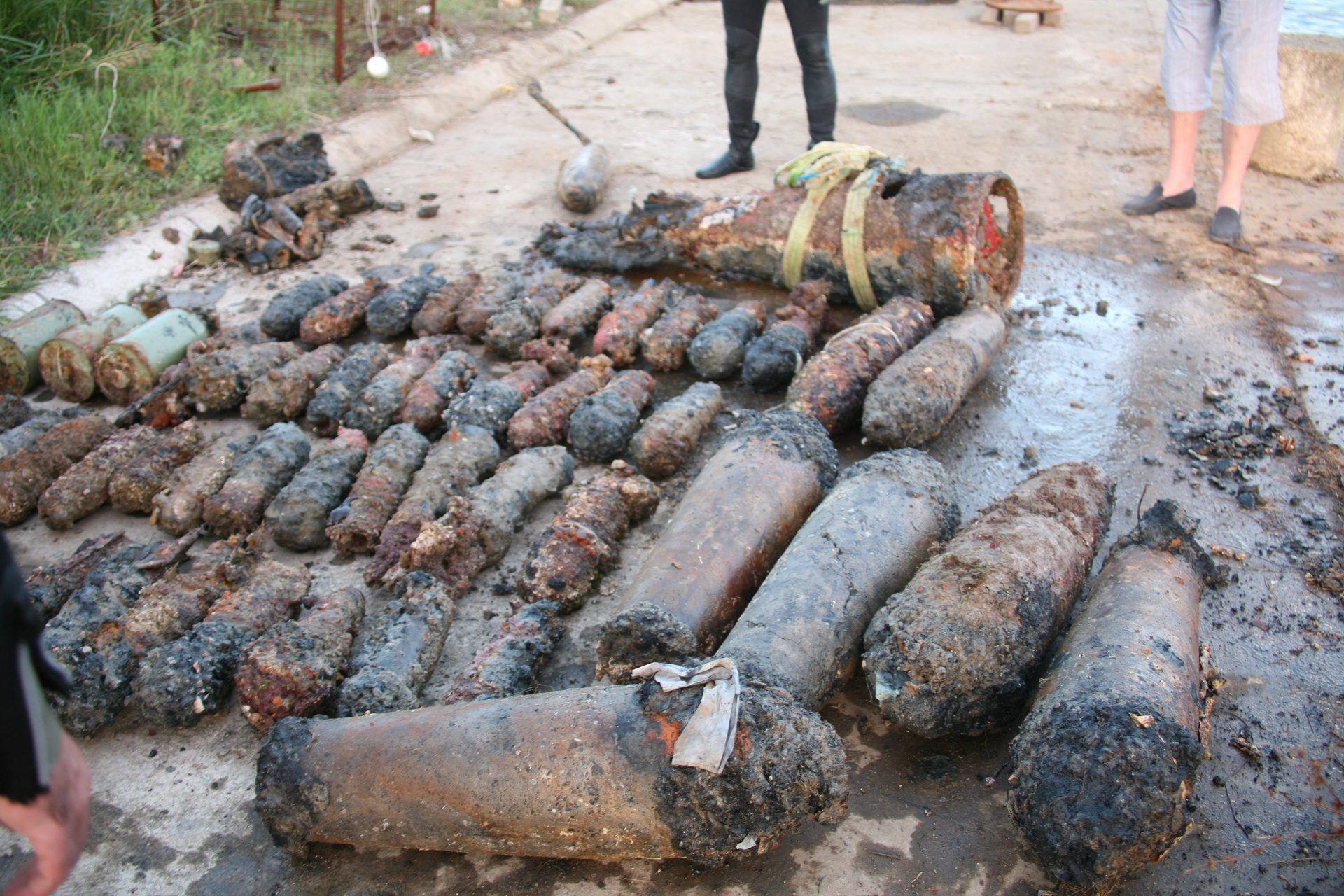
This is not a new capability — it is a proven one
Verige Strait
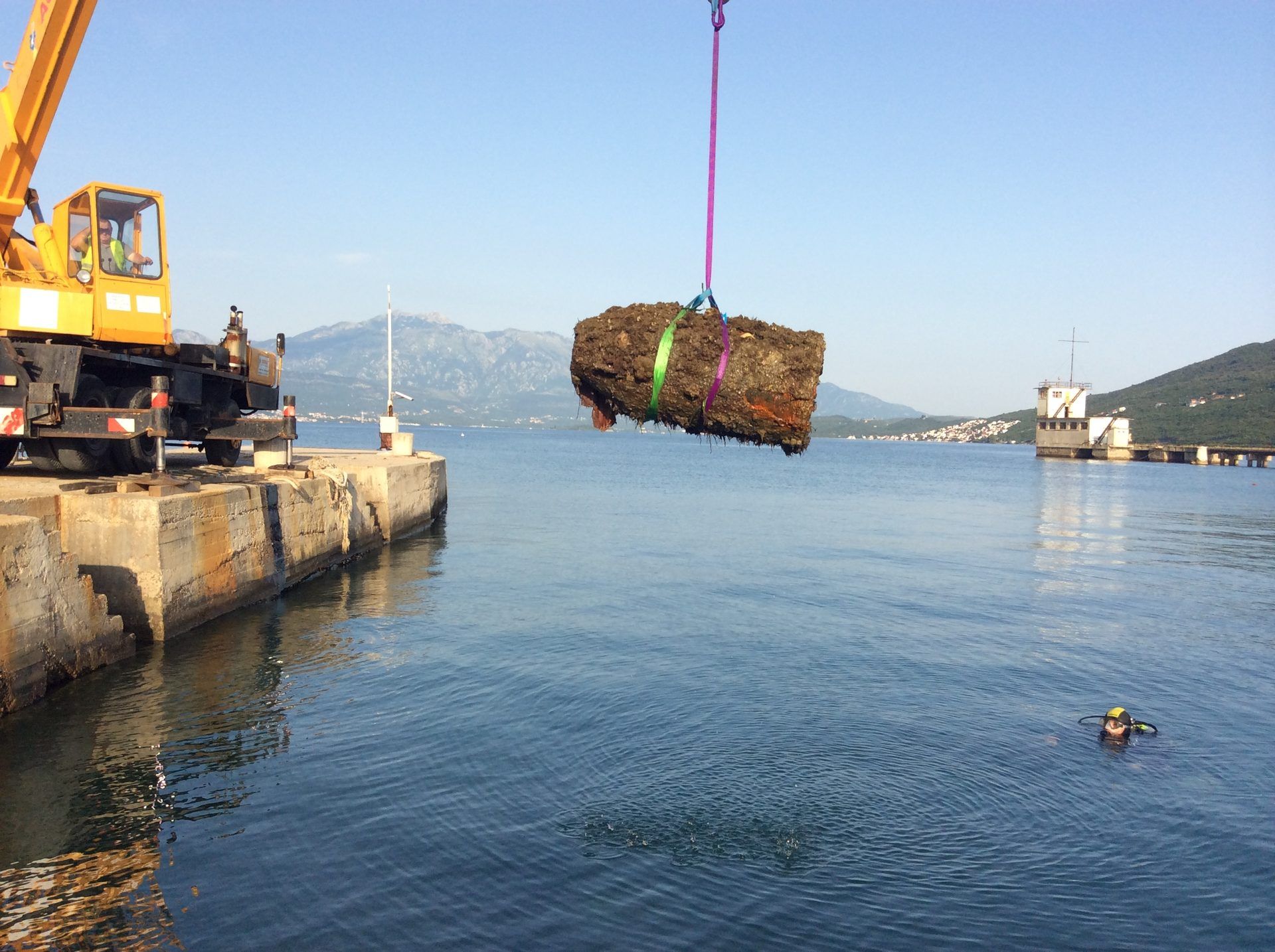
65 t
2004 — narrowest passage in the Bay.
Tivat Arsenal
17 t
2008 — ahead of Porto Montenegro.
Kumbor
~10 t
2014 — ahead of Portonovi.
MONITA cable
8.5 t
2018 — Italy–Montenegro interconnector.
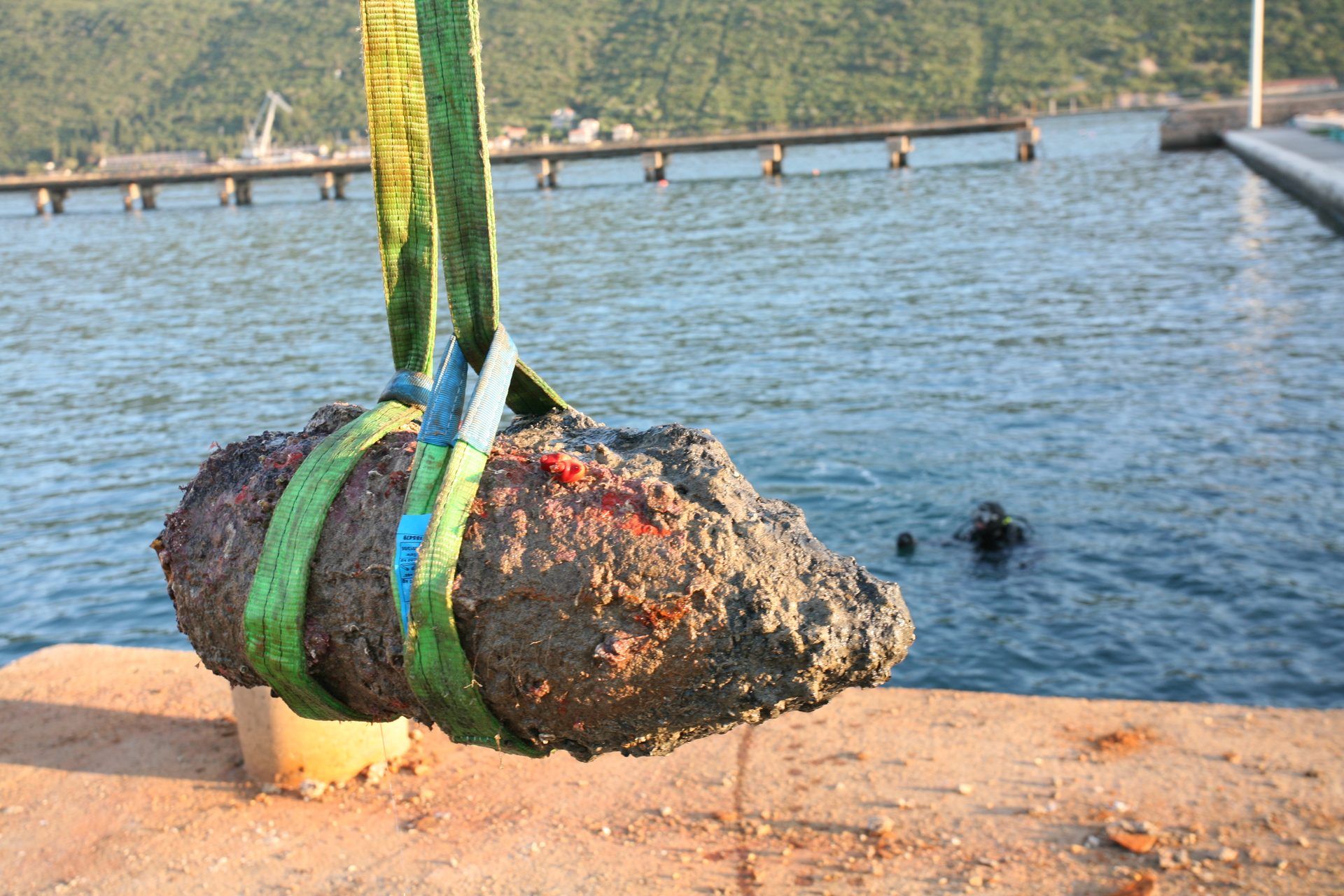
Approximately 100 tonnes of explosive ordnance removed across four documented operations — with zero reported incidents.
Time will not resolve this — it only adds exposure
Still live
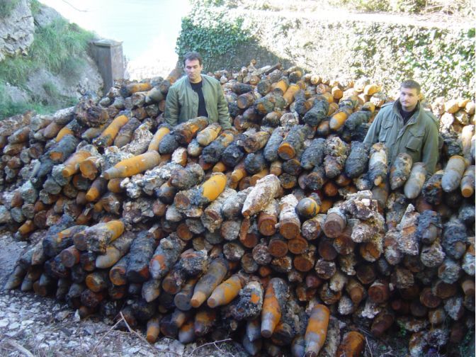
Recovered ordnance has repeatedly tested as fully functional, with factory markings intact after decades submerged at 30–40 m.
Growing exposure
Rising yachting, diving and nautical tourism traffic increases the odds of accidental contact every season the bay stays uncleared.
Uncontrolled recovery
Scrap collectors are drawn to recoverable metal and explosives; illegal dynamite fishing is periodically detected in the wider region.
Corrosion is a clock
Possible chemical munitions among the dumped ordnance corrode over time, releasing toxic degradation products into sediment and the food chain — a risk that only grows.
A disciplined, three-phase delivery model
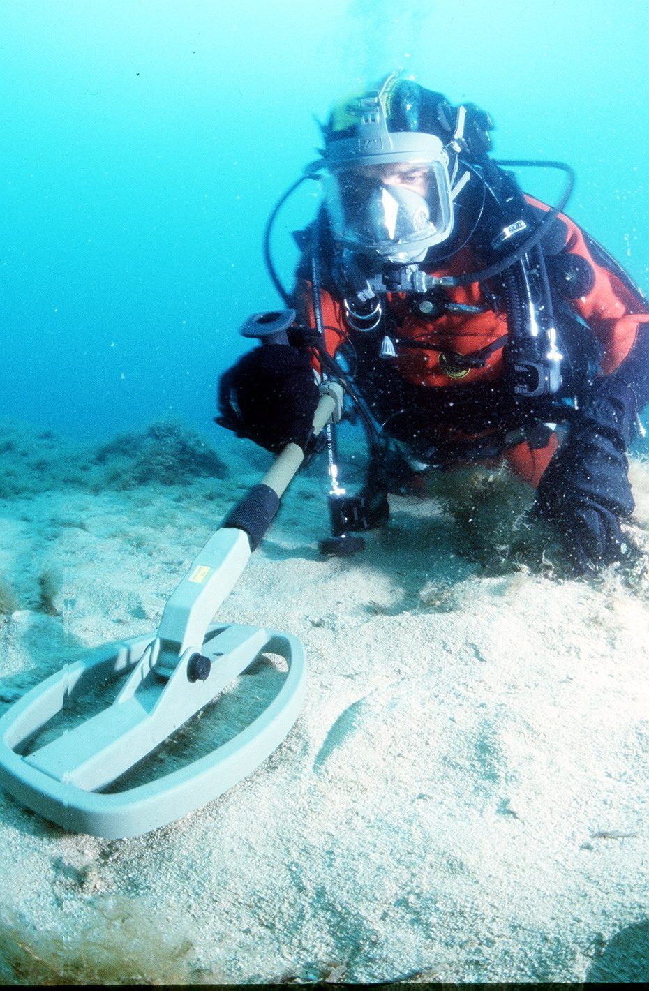
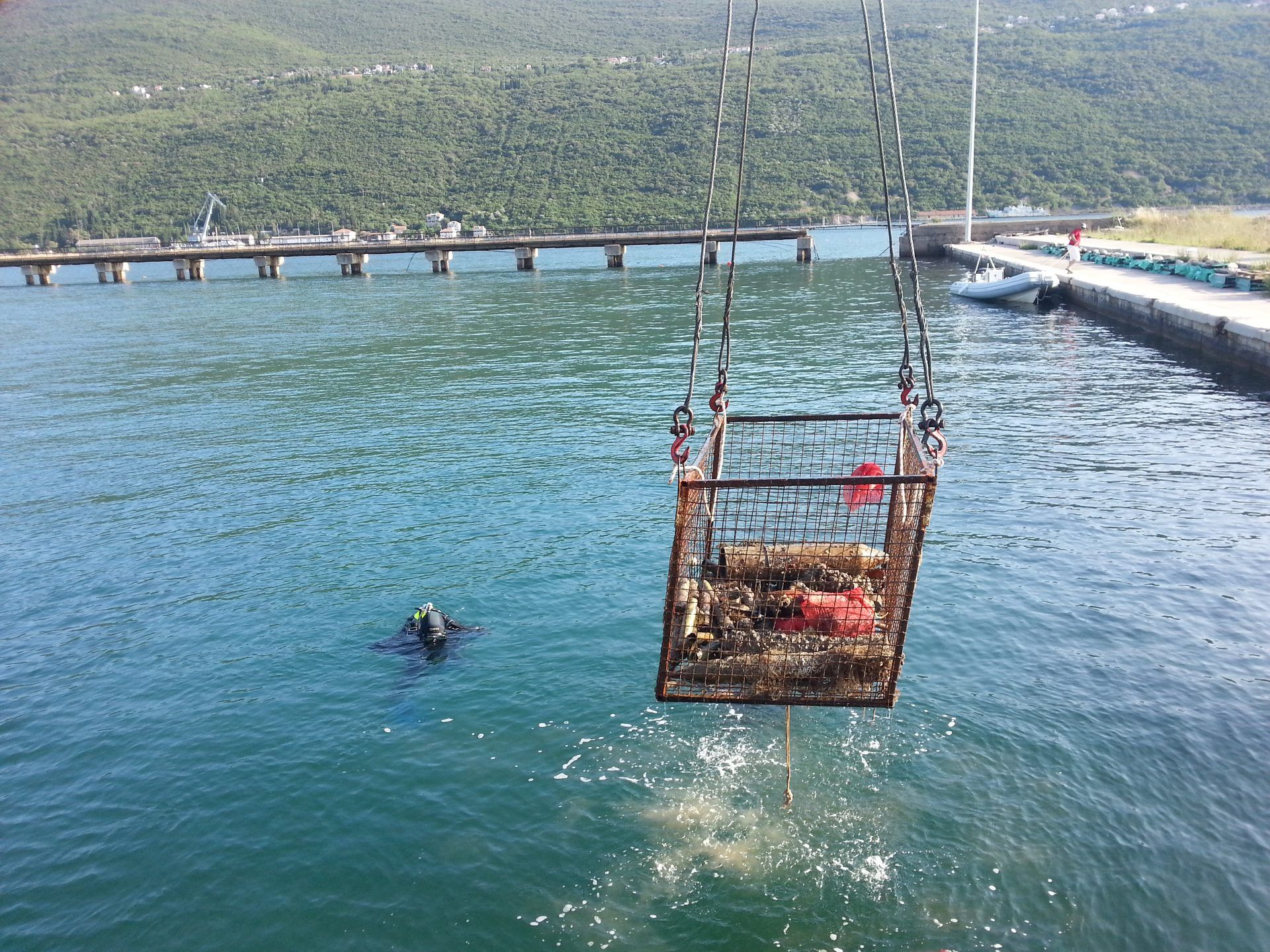
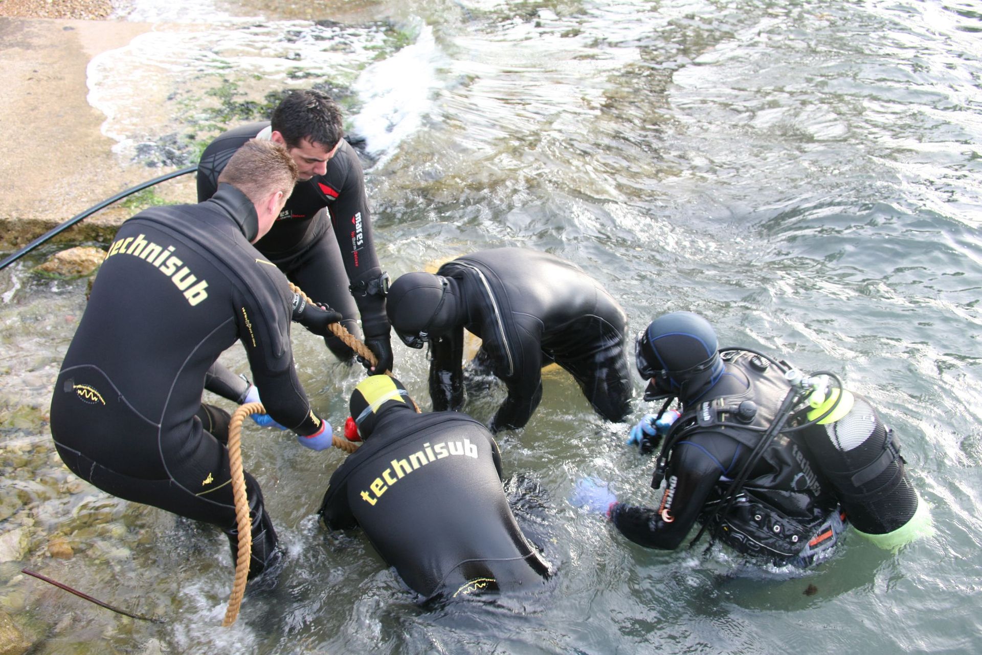
Pre-removal engineering
Records search, remedial investigation, bathymetric & electromagnetic survey, feasibility study, ammunition catalogue.
Removal design
Explosive Safety Submission; method aligned to IMAS, RCUD and SEEMACC standards; seasonal work-window planning.
Removal action
UXO-qualified excavation & identification; disposal in place by detonation, the preferred method; full HS&E risk management.
How hidden ordnance is actually found
Archive & records search
Historical maps and national archives overlaid on current geography via GIS, narrowing the search before a diver ever enters the water.
Geophysical survey
Dual-sensor magnetometry, electromagnetic detection and multibeam bathymetry across 100 m × 100 m sample plots.
Community intelligence
Coastal residents and fishermen — who know where debris and wrecks sit because that is where fish congregate — provide leads authorities alone do not have.
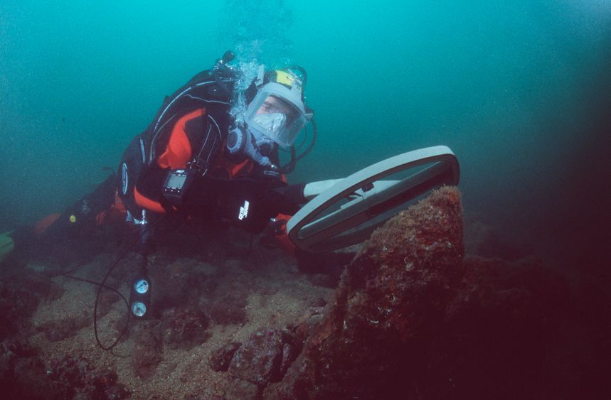
Diver verification
Every significant magnetic signature is confirmed in person — the only reliable way to distinguish ordnance from an engine, hull or vehicle.
Built to international mine-action standards
Operations run to IMAS (International Mine Action Standards), RCUD's own Operational Procedures, and the South Eastern Europe Mine Action Coordination Council (SEEMACC) framework — with a full Health, Safety & Environmental plan governing every working day.
A high, deliberate bar to entry — and RCUD already clears it
Track record required
Court-registered demining organisation, 10+ years' referential experience, 1,000,000+ m² demined, €2,000,000+ generated from underwater demining.
Certified people
5+ certified underwater deminers, 5+ divers rated NORMOXIC-TRIMIX to 39–60 m, a certified gas-blender, 2+ diving instructors, 2+ Special Naval Operations-certified staff.
Certified equipment
Hyperbaric chamber aboard the working vessel; 5+ certified underwater anti-mine detectors rated to full operating depth.
Qualified leadership
EOD-qualified Team Leader with military-engineering credentials, ~10 years' experience and international project-management track record.
Where a private beneficiary exists, this already pays for itself
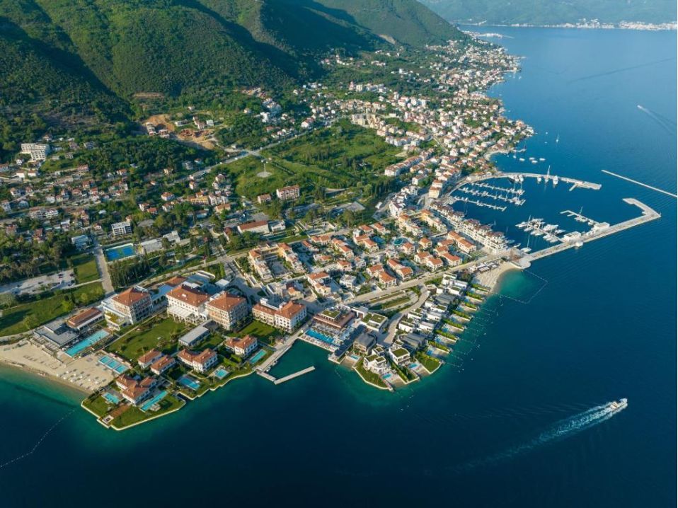
Arsenal → Porto Montenegro and Kumbor → Portonovi were both privately financed, once RCUD's survey defined the clearance scope developers needed to build. The result: a reported €500M+ investment at Portonovi alone, two international waterfront destinations — and, in June 2026, Porto Montenegro hosting the EU–Western Balkans Summit on a site that was a minefield eighteen years earlier.
No developer is coming for the other 3 million square metres
Most of what remains sits under fishing grounds, navigation channels and open public waters — the Verige Strait model, not the marina model. There is no private site owner to bill for it, and if clearance is left to wait for one, the highest-risk, lowest-commercial-value waters go to the back of every queue, indefinitely.
"Where private beneficiaries exist, their capacity to pay should release public resources towards precisely the waters no investor will ever finance."
A fully costed, bounded programme
Lidar mapping of the full bay bottom (87,330,000 m²) · identification of explosive objects across 3,170,000 m² · plan of action & permitting · removal and deactivation of UXO · independent supervision throughout.
A phased pathway, delivered season by season
Full-bay Lidar mapping and records-based historical assessment.
Zone-by-zone geophysical survey and target identification (3,170,000 m²).
Removal design, permitting and Explosive Safety Submission per zone.
Removal action, delivered across successive Apr–Jul and Sep–Dec working seasons.
Verification, sign-off and re-survey of each cleared zone.
Scope is bounded and mapped, but delivery is necessarily seasonal — no diving occurs during peak yachting traffic (Jul–Aug) or the winter weather window (Dec–Apr).
Partner with us to finish the job
Two sites are already cleared, built, and hosting European heads of state. The rest of the bay is mapped, costed, and ready — it needs a funding partner, not another study.
Government co-financing · EU accession & resilience funds · international donors · security & NATO-linked infrastructure programmes · private co-financing for zones adjacent to future development.
Cetinjski put 36, Gornja Gorica
81000 Podgorica, Montenegro
office@marsafe.me